9.5 mi loop with spurs ~2,800 ft elevation gain Hiked 6/12/25
The route that I took, going clockwise. Definitely the way to do this hike if you are up to it. Almost 3k elev. but the only tome the trail degrades is between Agnes and big beehive, which is up a washout/avalanche zone. Snowpile at bottom was a little iffy. Clouds along the ridge gave a spooky vibe.
Looking down the steep slope between Lake Agnes and Big Beehive. Trail may be seen switchbacking multiple times on the way down.

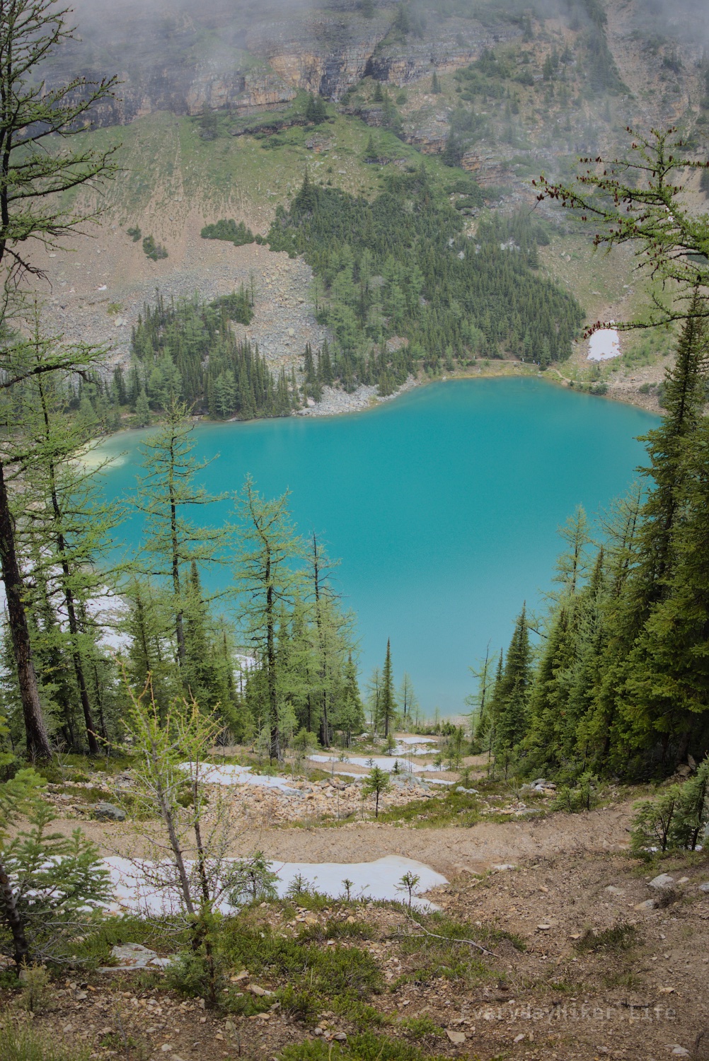
The trail between Lake Agnes and the Big Beehive runs along an avalanche route and had only recently begun being hikeable for the season. This upper area had a lot of washout and minor snow to frustrate your crossing. Part of Devil’s thumb rises above on the right in the mist.

The steep switchback section between Lake Agnes and Big Beehive above can be seen on the opposite shore. Crossed a couple of piles of snow at top and bottom with the lower being the worst to cross.
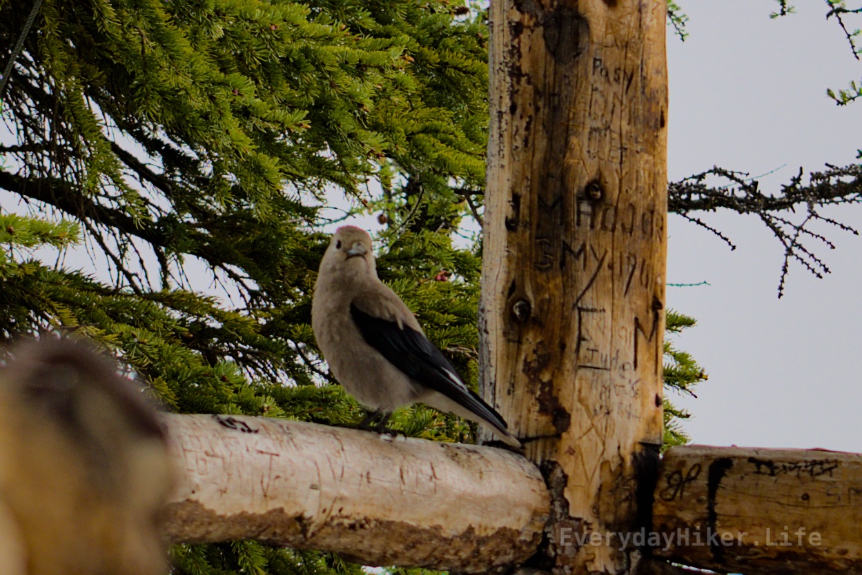
A Eurasian-Collared Dove pretending I didn’t catch it carving it’s name on the lookout. 'Who-Whoo-Who?"