Why are only part of the named countries colored?
I highly doubt west Virginia and Alabama are pulling their weights here
Out of curiosity, I just looked up Alabama’s GDP, and it’s similar to the country of Portugal.
It should come to no suprise, alabama’s economy is proped up by the fed. The biggest employers is Redstone arsenal and Anniston Army Depot and all the support industries around them.
Doesn’t include the world’s fourth-largest economy … so what’s the criteria here?
I think they factored in GDP per square mile, plus a constraint that it should be a contiguous area per region and probably another constraint that they wanted to highlight an area in North America, Europe and Asia.
Agreed.
The criteria is they add up to 50%
Which 50%? Not the top x economies it takes to add-up to at least 50%, so, random countries/states/provinces that happen to add up to 50% … ?
Yes. That way they could make a map and get updoots
yep, that would pass the criteria
Plausibly it’s trying to minimise land area with some degree of contiguity so it’s not just picking random cities though. India’s economy isn’t much bigger than the 5th or 6th economy while having substantially more territory and population.
I think you’ve hit the nail on the head with “contiguity”, and that alone makes this look so wrong to me. I mean, including Mississippi, Louisiana and West Virginia? China’s Entire Coast, but NOT Taiwan?
Japan is included?
California
Ah, OK. I thought you meant on a country scale. I don’t think there are any rules, just an interesting looking map.
India should be included too, its 5th on the list. Instead there are these small European countries.
where is California in all this?
why exclude Paris too?seems too arbitrary… what are the criteria?
The other 50%, it is on the west side of the United States.
I assume they intentionally left out some to round out the numbers a bit and hit 50% in a more interesting way without over half of it being the US.
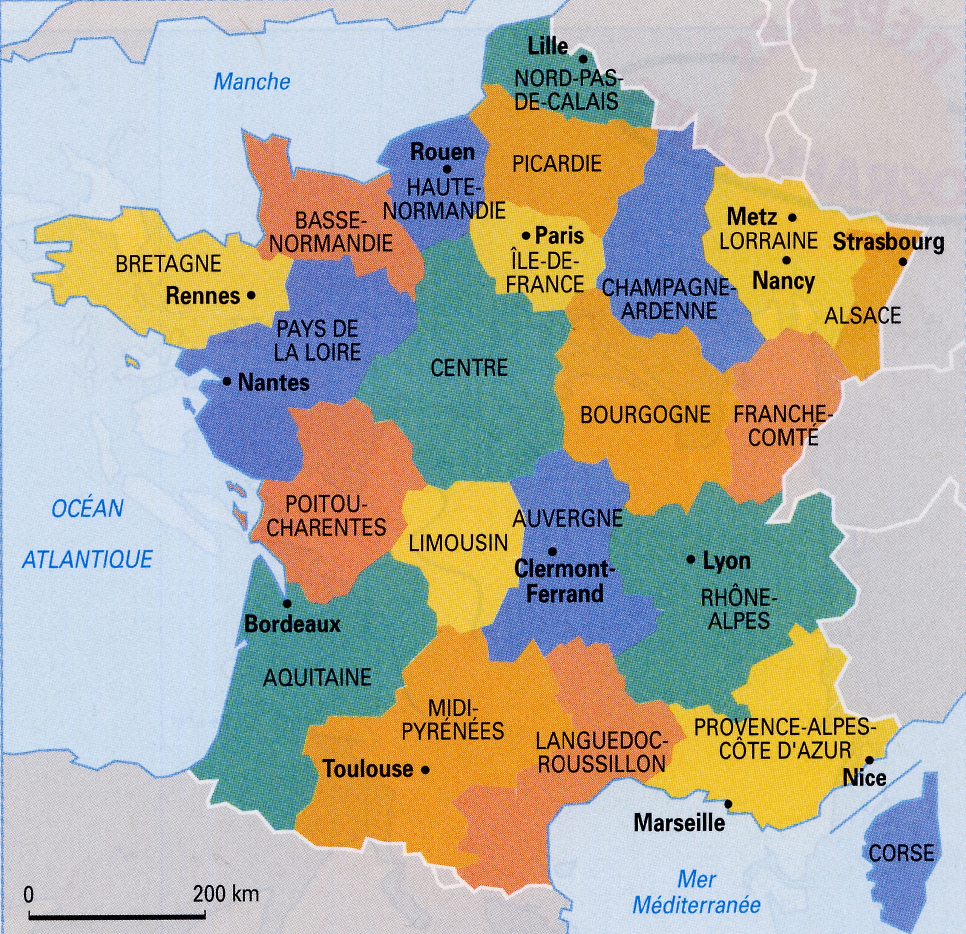
Paris is included, but not the regions south of it:

Nantes is wheat fields 🤔 all of Normandy and Brittany too
my bad, for paris i had to zoom a little bit more
It includes paris. and the rest is like mostly wheats fields so that’s why it didn’t get included
This could probably get a lot smaller if they went by city statistics instead of state, 80% of Texas is essentially rural land/desert very little people live in.
So it correlates to the major urban population centers of the 1st world…? Makes sense.
Most of them, it excludes the American west coast while including the poorest regions in the country (Appalachia and the deep south, neither of which can really be considered developed)


